Data Science for Water Sustainability
Data Science for Improved Understanding of Hydrometeorological Systems

Ombadi et al. (2020), Evaluation of Methods for Causal Discovery in Hydrometeorological Systems. Water Resources Research.
In this paper, I provide the first investigation of the effectiveness and suitability of using emerging methods of causal inference in identification of interactions in hydrometeorological systems. The investigation is carried out in two ways: (1) using simulations from a simplified hydrological model; (2) utilizing real-world observations related to seasonal evapotranspiration processes. The analysis is meant to assess the sensitivity of the methods to factors such as sample length, process noise and observational noise.

Ombadi & Varadharajan (2022), Urbanization and aridity mediate distinct salinity response to floods in rivers and streams across the Contiguous United States. Water Research.
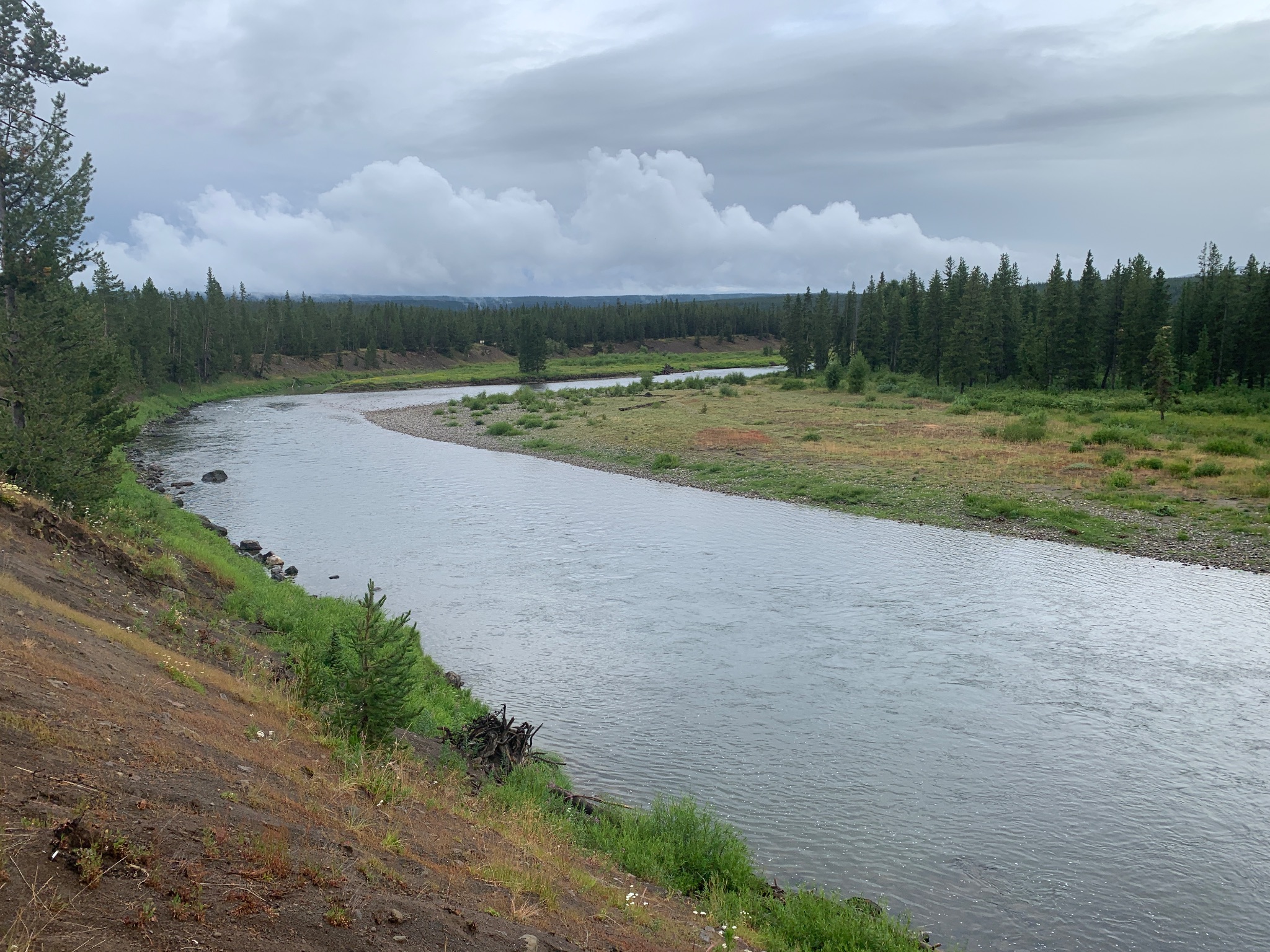
In this paper, we compile and analyze a large dataset of daily observations of concurrent streamflow and specific conductance (a proxy for salinity) from 259 rivers and streams across the contiguous United States. Using a combination of statistical analysis, machine learning and causal inference algorithms, we show that the response of salinity to floods vary considerably across sites and within sites. Moreover, we found that aridity and urbanization are the two dominant factors explaining inter-site variability, whereas intra-site vairaibiliy is primarily determined by antecedent conditions in the catchment and stream. We conclude by highlighting the implications of these findings for water quality in a future world – one in which floods are expected to increase concurrent with shifting aridity patterns and increased urbanization.

Ombadi et al. (2021), Complexity of hydrologic basins: A chaotic dynamics perspective. Journal of Hydrology.
The search for universal hydrologic laws at the macro-scale (i.e. catchment scale) has been ongoing for decades. This paper offers a new perspective based on concepts of nonlinear dynamical systems to estimate components of the dynamical behavior of hydrological catchments (system dimensionality and nonlinearity) from uni-dimensional time series of streamflow, then links those components to physical properties of hydrological catchments (e.g. size, climate, soil …etc.). Through analysis of more than 400 hydrologic catchments across the contiguous United States, we found robust relationships that link physical properties of catchments to system behavior.

Ombadi et al. (2021), How much information on precipitation is contained in satellite infrared imagery?. Atmospheric Research.
The use of satellite infrared (IR) measurements to estimate surface precipitation rates has been a major research thrust in environmental remote sensing for more than two decades. However, different models for estimating precipitation from IR have different assumptions which makes it extremely difficult to attribute sources of error to either algorithms or input data (IR). Here, a novel, data-driven approach based on concepts of information theory is presented in which the relationship between IR and surface precipitation is analyzed across space and time scales to pinpoint instances where IR data can be favorable for estimation of precipitation.